
Guidebooks of a Past Era
“What dull men are those that tarry at home,
When abroad they might wantonly rome, (sic)
And gain such experience, and spy too
Such Countries, and Wonders as I do. – Cowley”
Excerpt from Highways and Byways in Northamptonshire and Rutland, by H. A. Evans (1918)
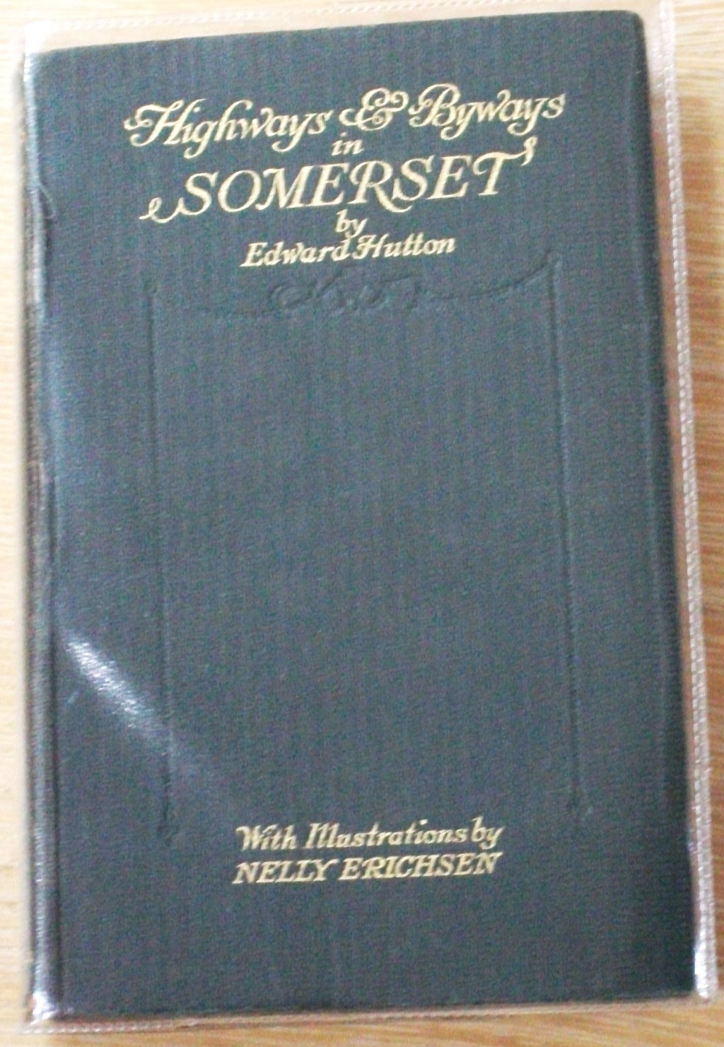
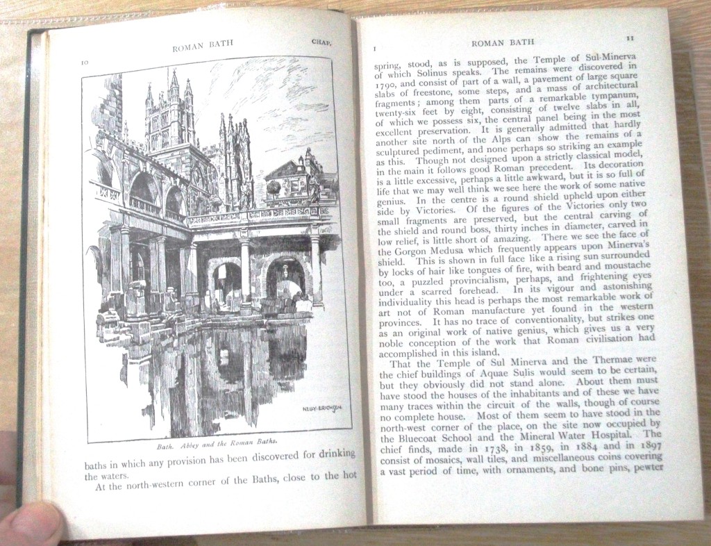
We sell a number of different types of old guidebooks in our shop and one of my favourites is the ‘Highways and Byways’ series, each with numerous illustrations, some by noted artists. The ‘Highways and Byways’ series includes 36 pocket-sized regional guides which were hugely popular in their day. They had very distinct branding (before the word branding existed), which made them instantly noticeable, with their dark green covers (blue for the later editions) and gilt writing on the front and spine.
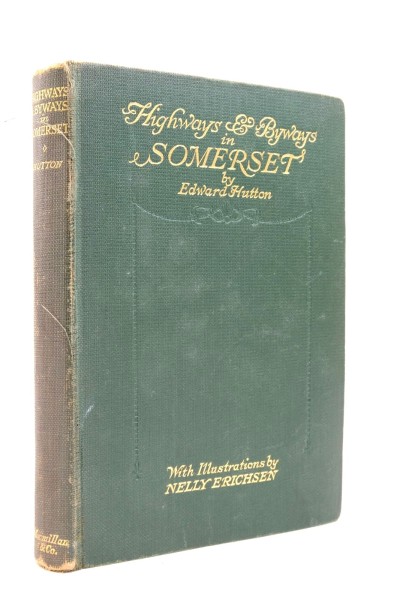
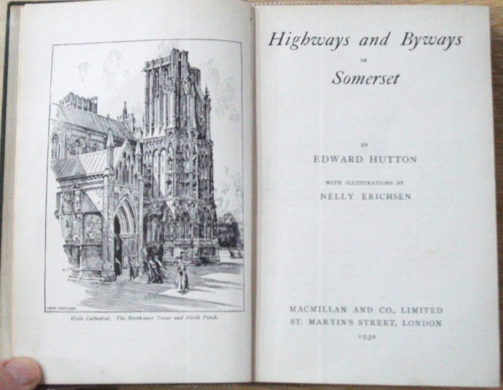
Macmillan began publishing the ‘Highways & Byways’ series in 1899 and by the start of the second World War had compiled guides on most areas of England, Scotland and Wales, as well as one publication on Normandy and another on Ireland. Early titles were bound in green cloth with gilt and later editions of those volumes were bound in blue cloth with gilt. The Pocket editions which were published in 1920s were bound in green cloth, blocked and lettered in gilt, with a different font and design to the earlier titles. Each guide had a detailed map at the back and the text always included a wide variety of interesting places, notable historical events, local flora and fauna, folklore, and legends. In many volumes the frontispieces were issued with tissue protection and in the 1920’s and 1930’s the books were also issued with dustjackets.
Obviously, these guidebooks describe towns and areas which are vastly different from how they look now. They speak of the countryside and towns of their time and they did not always concentrate on the most popular areas. In one, the ‘Northampton and Rutland’ guide, it starts with a conversation with a fellow traveller:
“Highways and byways in the shires? No thank you... The Shires! Why the horses are all out at grass and the dogs….Think better of it and come with me. No? Well have a good time, but it won’t suit me…”
Luckily our guide was not to be put off.
Having seen a number of these guide books in our shop, it set me wondering about the history of guidebooks. On research I found this kind of travel guide was published around the late 1800’s and early 1900’s, and the ‘Highways and Byways’ series was one of the guidebooks at the vanguard of this era, the start of the modern travel guide. Before this there were numerous travelogue style books but they were much more personal accounts of travel during the ‘Grand Tour’ days.
After 1815 the Battle of Waterloo brought an end to the Napoleonic Wars and the European continent opened up once again to British tourists. The nineteenth century was to be an age driven by steam technology, mass-industrialisation, and movement, and, in the footsteps of the Grand Tourists a hundred years earlier, the British middle-classes flocked to Europe to see the sights. This new popular tourism introduced new markets in guidebooks, souvenirs, cuisine and health cures.
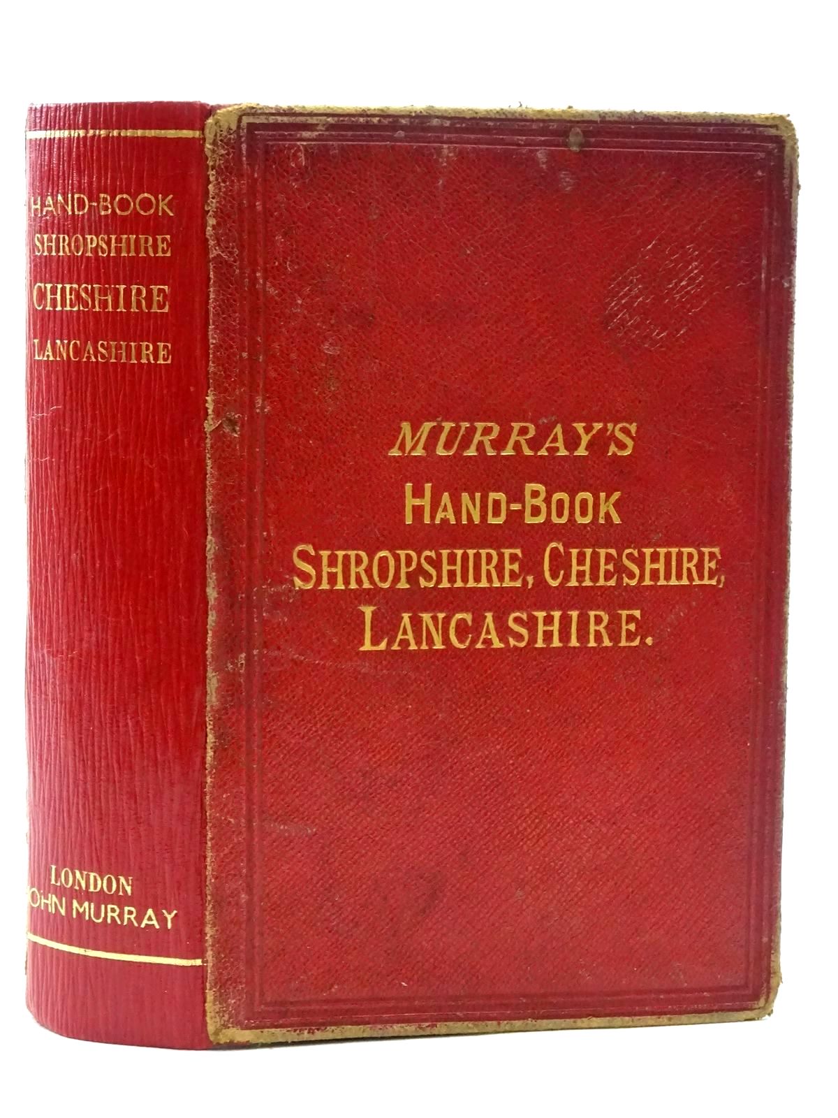
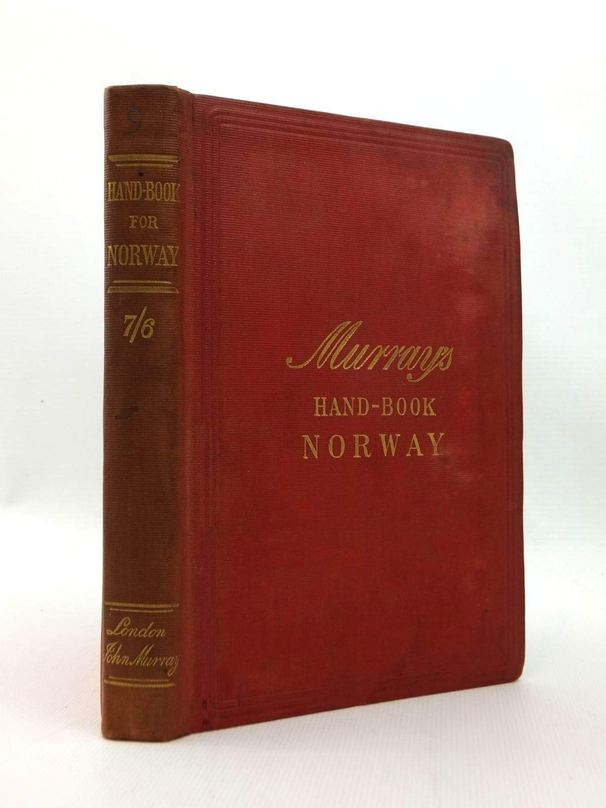
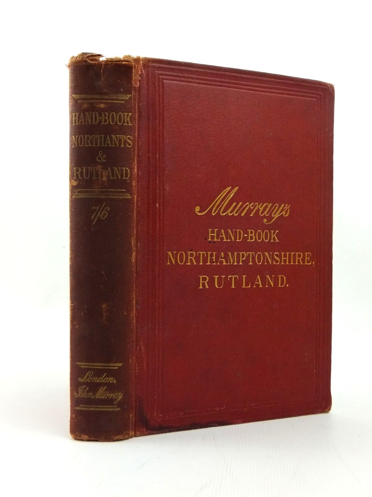
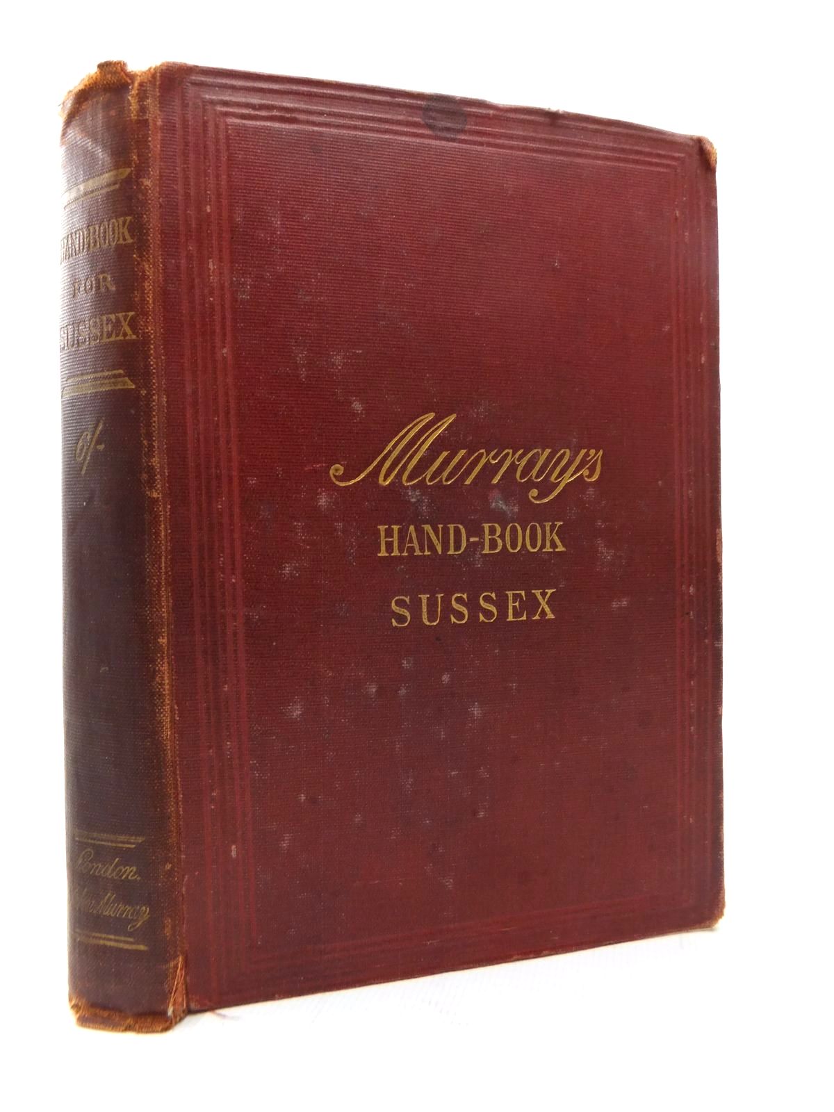
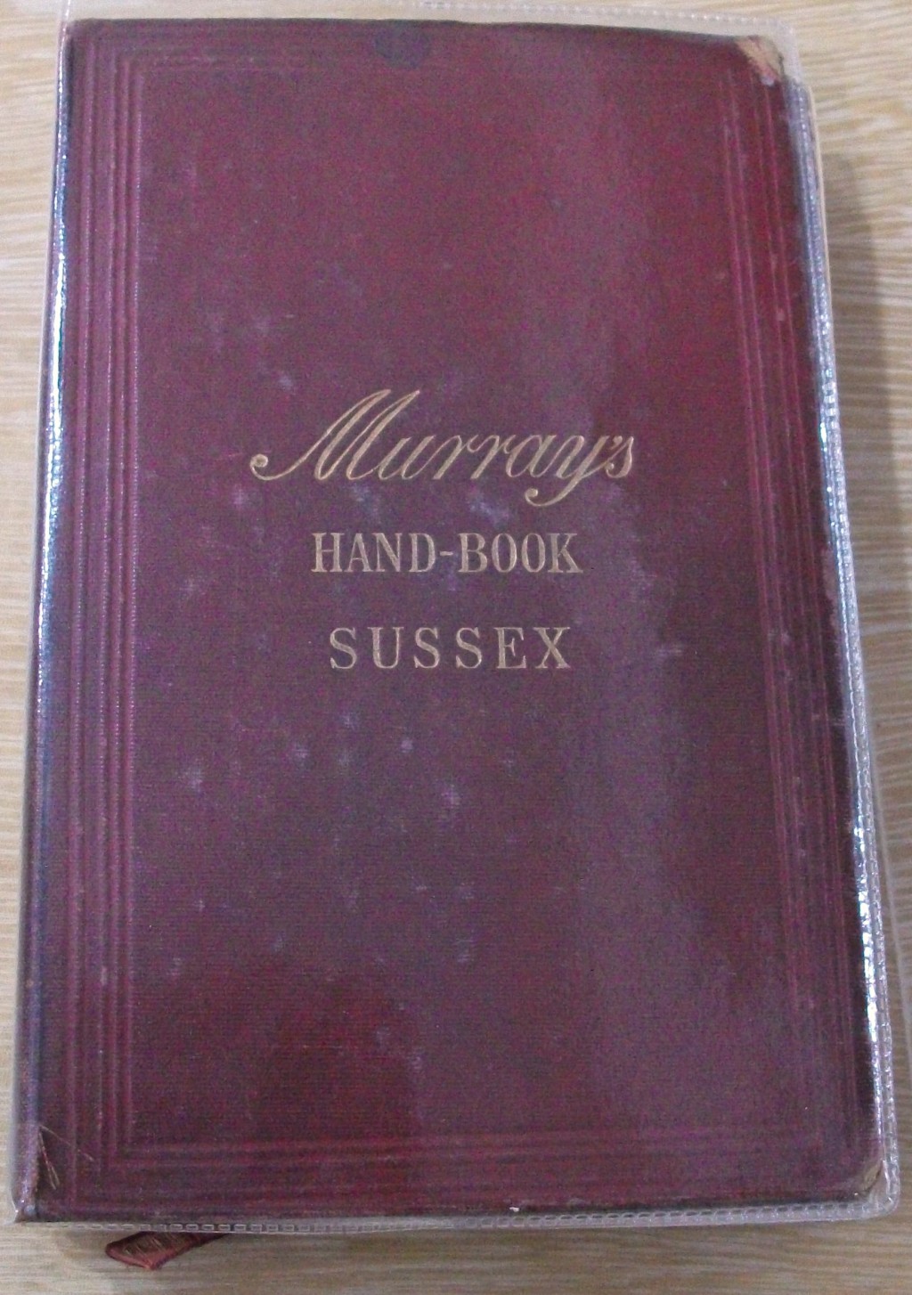
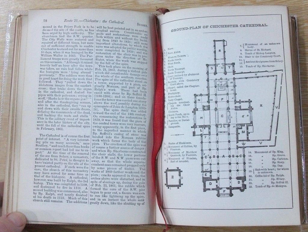
Interestingly a lady called Mariana Starke was an important transitional figure between the personal testimony Grand Tour style of guide and the mass tourism guidebooks. In the early 1800’s she penned her travel guide of Italy, including for the first time a wealth of advice on luggage, obtaining passports, the precise cost of food and accommodation in each city and even advice on the care of invalid family members, as she had travelled earlier with her family who had tuberculosis. She also devised a system of exclamation mark ratings [!!!], a forerunner of today's star ratings. Her books, published by John Murray, served as a template for his later guides. These later successful Murrays Guides, or Murray's Handbooks for Travellers, all have the familiar red and gilt covers making them very distinct.
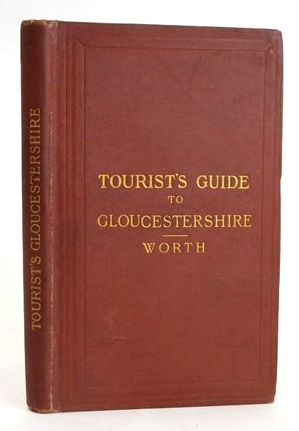
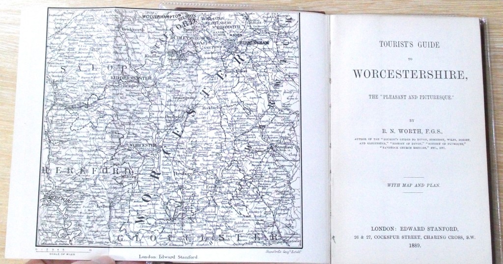
Stanford's Guides were another standout guide in this era and they ran from the 1850’s until the early 1900’s. Edward Stanford was a map specialist, so it was no surprise that detailed maps are included in the guides and this made them very useful for the traveller. The Stanford guides provided details on the railway, road and river excursions that were worthy of inclusion in your holiday. The Railway excursions are meticulously laid out with the railway line name, cost of a ticket and the stops possible on the line. Not all stops were worthy of a detailed mention though - ‘Tourist’s Guides to Devonshire’ by RN Worth only has the words “Tipton. Merely a village (pop. 386)” to describe this pretty Devon village.
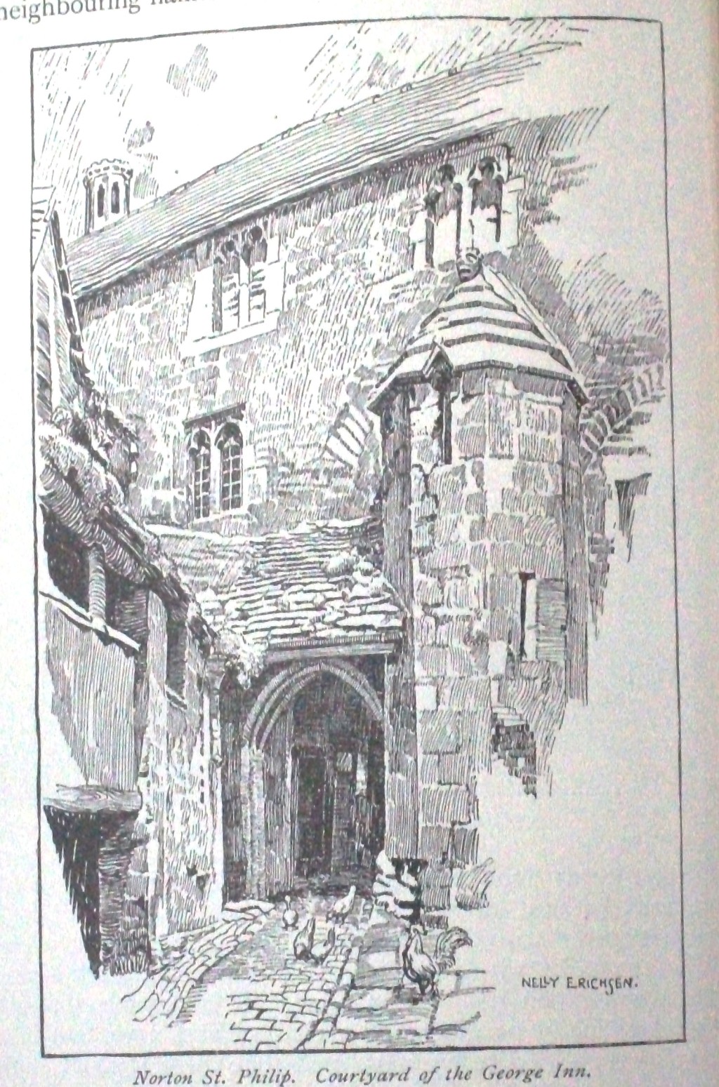
All these travel guides set the scene and established the format for the today’s billion-dollar guidebook industry. But looking at the old ‘Highways and Byways’ series, I think they are still hard to beat for their old-world charm, and glimpse into a by-gone era, as shown by this excerpt from ‘Highways and Byways in Somerset’ by Edward Hutton (1912):
“For the hills of Mendip are hollow and are full of secrets; secret springs, secret underground rivers whose courses you may not know, but whose voices you may sometimes hear suddenly on a still day as you lie on the shady side of one of the many swallets or pits”.
Contributed by Alison
(Published on 30th Apr 2024)