Stella and Rose's Books Logo

Stella & Rose's Books

Specialists in Rare & Collectable Books

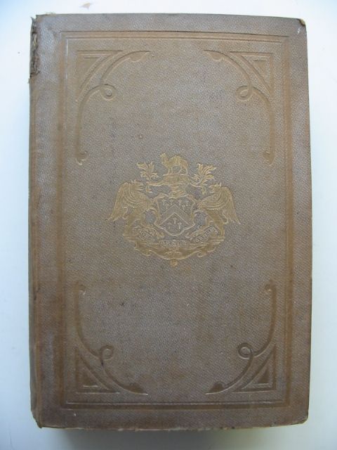
THE MAP OF MID SIXTEENTH CENTURY LONDON

by Stephen Powys Marks

Published by London Topographical Society. 1st. 1964

Very good condition. Large format. Brown cloth spine, grey boards. 10 b/w plates. An investigation into the relationship between a copper-engraved map and its derivatives.

Covers slightly marked.

Stock no. 668301

Buy now for £50.00 Enquire about this book Add to Wish List

Contents

  • I. Introduction
  • II. The copper engraving
  • III. The map of London in Braun and Hogenberg's 'Civitates Orbis Terrarum' and its relationship to the copper engraving
  • IV. The extent of the copper engraving
  • V. The woodcut map ('Agas') and its relationship to the copper engraving
  • VI. The pewter engraving and its relationship to the woodcut map ('Agas')
  • VII. Sir Hans Sloanes' copies of the map
  • Appendix I. The attribution of the woodcut map to Ralph Agas
  • Appendix II. The extant amps
  • Appendix III. Bibliography
  • Notes
  • Diagram showing the relationship of some of the versions and impressions
  • Index
  • Plates

Similar Stock