
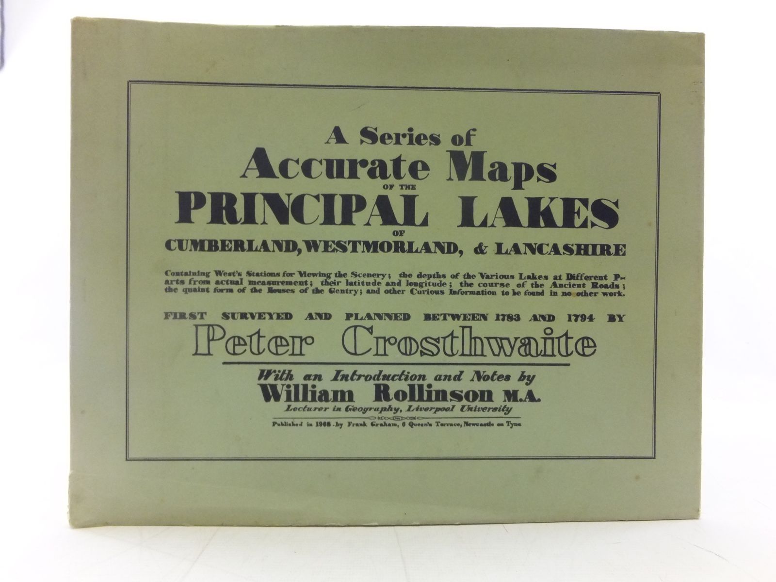
A SERIES OF ACCURATE MAPS OF THE PRINCIPAL LAKES OF CUMBERLAND, WESTMORLAND & LANCASHIRE
by Peter Crosthwaite; William Rollinson
Published by Frank Graham. 1968
Very good condition in a almost very good dustwrapper. Large oblong format. Black spine. Bright green boards with black titles. Containing West's Stations for Viewing the Scenery; the depths of the Various Lakes at different Parts from actual measurement; their latitude and longitude; the course of the Ancient Roads; the quaint form of the House of the Gentry; and other curious information to be found in no other work. First surveyed and planned between 1783 and 1794 by Peter Crosthwaite. With an Introduction and Notes by William Rollinson.
A little foxing. Some light margin marks. Wrapper is unevenly faded with some edge-creasing; 1-2" closed tear to base of spine.
Stock no. 2117983
- Categorised in:
- TOPOGRAPHY (UK)
- NORTH WEST UK
- CUMBERLAND
- WESTMORLAND
- LANCASHIRE
- MAPS