Stella and Rose's Books Logo

Stella & Rose's Books

Specialists in Rare & Collectable Books

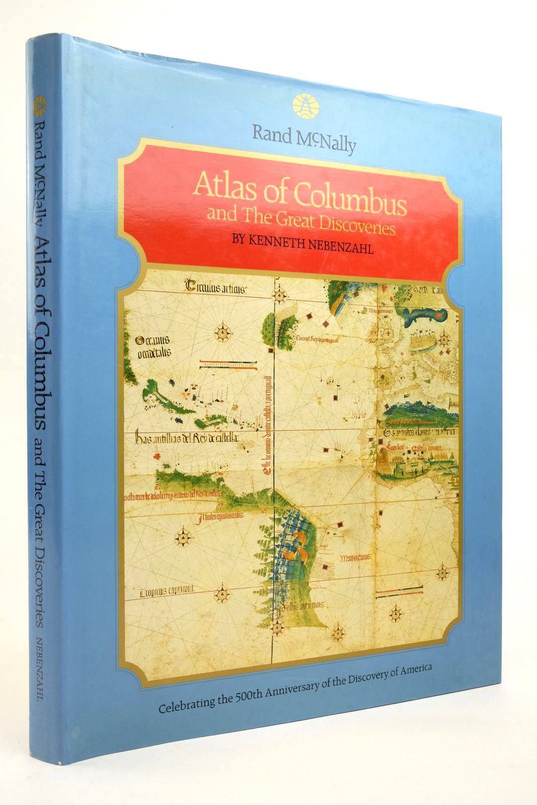
ATLAS OF COLUMBUS AND THE GREAT DISCOVERIES

by Kenneth Nebenzahl

Published by Rand McNally & Company. Circa. 1990

Slightly better than very good condition in a very good dustwrapper. Very large format. Blue cloth with gilt titles. Colour and b/w maps and illustrations throughout.

Browning to page edges. Wrapper is edge-creased with a little browning.

ISBN: 052883407X
Stock no. 2138642

Buy now for £18.00 Enquire about this book Add to Wish List

Contents

  • Introduction
  • PART I
  • The Cartographic Tradition by Columbus
  • Claudius Ptolemy, World Map, Florence, 1474
  • Abraham Cresques, The Catalan Atlas, Majorca 1375
  • Zuane Pizzigano, Nautical Chart, Venice, 1424
  • Fra Mauro, World Map, Murano, 1459
  • Henricus Martellus Germanus, World Map, Florence, 1489
  • Martin Behaim, Terrestrial Globe, Nuremburg 1492
  • Donnus Nicolaus Germanus, Hispania, Ulm 1482
  • "The Christopher Columbus Charter" Portolan Sea Chart 1492-1500
  • PART II
  • Columbus and His Contempories Change of the Map
  • Map of the Discoveries of Columbus, Basel 1493
  • Juan de la Cosa, World Chart, Santa Maria 1500
  • The "Cantino" Planisphere, Lisbon 1502
  • Bartolommeo Columbus & Alessandra Zorzi, Map of the Equatorial Belt Italy 1503-1506/1516-1522
  • Nicolo Caveri, World Chart Genoa 1504-05
  • Giovanni Matteo Contarini World Map Florence 1506
  • Johannes Ruysch World Map Rome 1507
  • Martin Waldseemuller, World Map Strassburg 1507
  • Francesco Rosselli, Marine Chart and World Map, Florence 1508
  • Vesconte de Maggiolo World Map Naples 1511
  • Pietro Martyr d'Anghiera, Map of the Indies, Seville, 1511
  • Piri Re'is, Chart of the Ocean Sea, Gallipoli 1513
  • Martin Waldseemuller, Terre Nove, Strassburg 1513
  • Lopo Homen with Pedro Reinel, Northern Indian Ocean, Portugal, 1519
  • Lope Homen with PEdro Reinel, East Indies, Portugal, 1519
  • PART III
  • Filling in the Features of the Earth
  • Hernando Cortes, Gulf of Mexico, Map and Mexico City Plan, Nuremburg, 1524
  • Juan Vespucci, World Map, Italy 1524
  • Antonio Pigafetta, Maps from Magellan's Great Voyage, Place of original unknown 1525
  • Juan Vespucci, World Map, Seville 1526
  • Gerolamo da Verrazzano, World Map, place of origin unknown 1529
  • Diego Ribero, World Map, Seville, 1529
  • Diego Ribero & Giovanni Battista Ramusio, The New World, Venice 1534
  • Sebastian Munster, The New Islands, Basel 1546
  • Battista Agnese, World Map Venice, 1542
  • Battista Agnese, Oval World Map, Venice 1542
  • Sebasian Cabot, World Map Antwerp 1544
  • The 'Vallard' Chart. Dieppe before 1547
  • Pierre Desceliers, World Map, Arques 1550
  • Guillaume Le Testu, East Coast of North America, Florida and the Greater Antilles, Le Havre 1556
  • Diogo Homem, The North Atlantic, London 1558
  • Abraham Ortelius, World Map Antwerp 1564
  • PART IV
  • Europe's Colonial Era Begins
  • Gerardus Mercator, World Map on Mercator's Projection, Duisburg 1569
  • Georg Braun & Frans Hogenberg, Plan of Cuzco, Cologne, 1572
  • Jodocus Hondius, World Map, London 1589
  • John White La Virginea Pars and La Virgenia Pars, London 1585-1586
  • Baptista Boazio, The Famouse West Indian Voyadge, Leiden 1588
  • Baptista Boazio, Hispaniola Leiden 1588
  • Baptista Boazio Cartagena Leiden 1588
  • Baptista Boazio St Augustine Leiden 1588
  • Cornlis de Jode, Quiviriae Regnum and Americae Pars Borealis, Antwerp 1593
  • Edward Wright, World Chart on Mercator Projection, London 1599
  • Bibliography
  • Index

Similar Stock